
whitehall land survey, PLLC
Whitehall Land Survey is a provider of professional survey and mapping services to Rowan, Cabarrus, Mecklenburg and all surrounding counties. With customer service being our highest priority, expect a quick response to all inquires. Whitehall Land Survey is relied on as a trusted advisor to provide a quick and cost effective land survey solution without ever cutting corners.
Request a quote
Submitting this form is the fastest way to get in touch. Expect a response within 1 business day.
SERVICES
-
Boundary Surveys
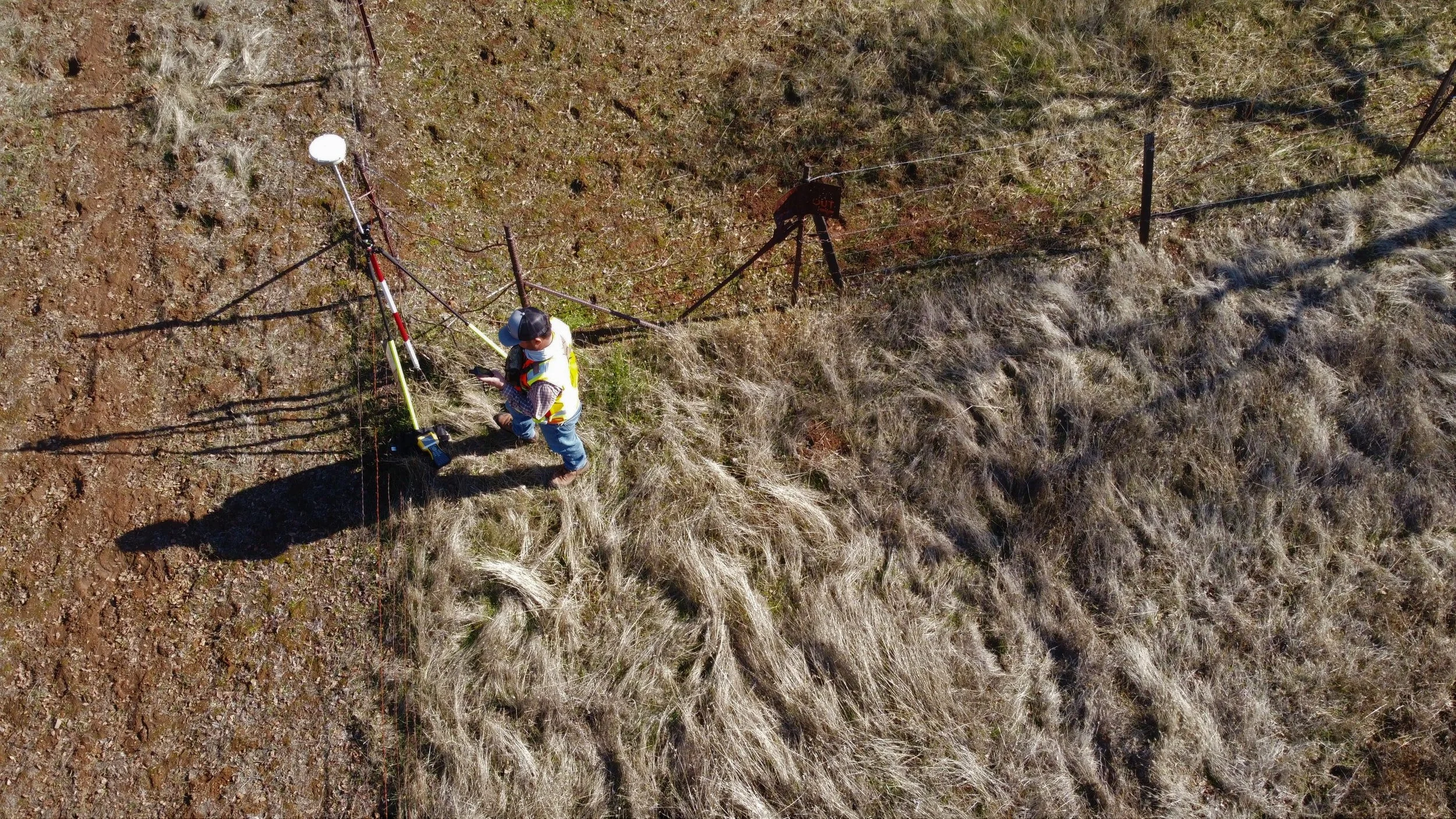
A boundary survey typical requires record research in search of the deed and legal description of a parcel. The surveyor will retrace and relocate evidence of description, including monuments and evidence of occupation. Reestablish any missing boundary monumentation and deliver a map with metes and bounds descriptions.
-
Mortgage Surveys
A physical inspection of the property and its boundary lines. Confirmation improvements such as structures and fences lie inside the parcel. Mapping of encroachments, easements, right’s-of-way, flood plain, and setbacks. Often required by lenders during home purchase.
-
ALTA/NSPS Land Title Surveys
Provide an American Land Title Association compliant boundary survey. Examine all title documents and meet all applicable rules and regulations to conform to the uniform standards. Certified to lender, borrower, and title insurance company. ALTA Surveys are often required as part of a commercial real estate transaction.
-
Topographic Surveys
Complete mapping of the ground: what it is, where it is, what it looks like, what it’s used for. Locating all natural and manmade features that might have an impact of present or future use. Collection of vertical information to map contour lines and elevations.
-
subdivisions
Dividing or combining existing parcels into new parcels. Recording a map when required, meeting applicable regulatory requirements.
-
UTILITY SURVEYS
Perform survey of existing above or certain below ground utilities, such as overhead power or sanitary sewer. Survey to support development of new utilities, including easements.
service areas
counties
Rowan, Cabarrus, Mecklenburg, Iredell, Lincoln, Gaston, Stanly, Union, and Davidson, and surrounding areas within North Carolina.
cities
Charlotte, Concord, Kannapolis, Salisbury, Landis, Albemarle, Gastonia, Huntersville, Harrisburg, Stanly, Rockwell, Mint Hill, Cornelius, Davidson, Mooresville, Locust, and surrounding areas within North Carolina.
FREQUENTLY ASKED QUESTIONS
-
What is land surveying, and why is it important?
Land surveying is the precise measurement and mapping of land features, boundaries, and elevations. It is essential for property ownership, development, construction, and legal purposes.
-
When do I need a land surveyor?
Surveyors are often required when buying or selling real estate, subdividing land, constructing new structures or fences, settling boundary disputes, creating access easements or obtaining building and septic permits.
-
How much does a land survey cost?
Survey costs vary widely depending on factors such as property size, complexity, location, and the type of service required. Contact us for a quote specific to your property and needs.
-
Do you offer digital or paper survey deliverables?
We can provide both digital and paper survey deliverables, depending on your preference and specific project requirements.
-
How long does a land survey typically take to complete?
The timeframe for completing a land survey depends on the project's size and complexity. Simple boundary surveys may only take a few days, while larger projects could take several weeks. For subdivisions, county or city review might add to the overall timeline.
-
What information do I need to provide for a land survey quote?
You only need to provide the location of your parcel, either by address, parcel identification number, or by describing the general area; and a description of what you are wishing to do or what is driving you to need a survey.
-
Can you help with obtaining permits for my construction project?
While we don't directly obtain permits, we can use our survey data to help create documentation that can assist you in any permitting process.
-
What is the difference between a land survey and a property appraisal?
A land survey measures and maps the physical boundaries and features of a property, while a property appraisal evaluates its market value. When seeking a mortgage to purchase property, your lender will often require both an appraisal and land survey.
-
Is it necessary to get my property surveyed before buying a property?
While it may not be required in all cases, getting a land survey before purchasing a home can help you understand the property boundaries and identify any potential encroachments or issues. Real estate often is the most valuable asset anyone will purchase; we recommend a land survey be a part of any real estate transaction.
-
Can a land survey reveal buried utility lines on my property?
A land survey may indicate the presence of buried utility lines based on visible above-ground evidence, but a separate utility locating service would be needed for precise identification.
-
What is the difference between a land survey and a property title search?
A land survey physically measures the property's boundaries and features, while a title search verifies the property's ownership history and any encumbrances.
-
do you offer expedited survey services for time-sensitive projects?
Yes, we understand the importance of deadlines, and we offer expedited services for projects that require quick turnaround.